|
|
Our working area contains the following surveying services:
Photogrammetry
- Picture flights and planning picture flights
- Aerotriangulation
- Digital and analytic air picture stereo-evaluation
- Digital areamodells
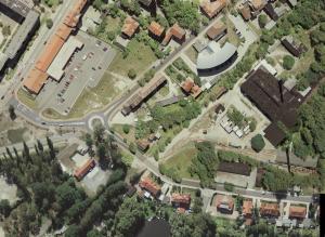
- Orthophoto computation / True Orthophotos
Producing of Community Maps
- Subject maps including and excluding Othophotos
- GDI and GIS - Data Processing/ Banking
- Engineering measuring
Engineering survey
Markscheidewesen
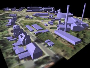
3D-animations
Air picture archives
Orthophoto computation from air picture archives
Scan- and plotservice
|
|
|
|

